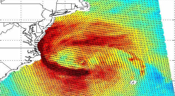
Supported by MARCO funds, a collaboration of the Delaware Coastal Programs, University of Delaware, and Rutgers University is developing a Coastal Storm Severity Index (CSSI) for the Mid-Atlantic region. The CSSI will be a new way of conveying the potential impacts of forecasted coastal storms (both mid-latitude and tropical systems) to decision makers and the general public.
Unlike like the Saffir-Simpson Hurricane Wind Scale, which is limited to hurricanes and categorizes such storms based solely upon sustained wind speed, the CSSI will also use forecasted precipitation (amount and type), storm surge, wind, tidal levels and storm duration to convey potential storm impacts.
This characterization will be coupled with local geographic and demographic information to develop a severity index for a specific area. For example, an inland town surrounded by forests may have a low impact potential from surge but a higher impact potential from wind damage. A potential impact rating for wind, precipitation, stream flooding and surge will be developed for specific locations and combined together to give an overall severity index.
The CSSI collaboration is hosting a series of MARCO supported workshops in Delaware and New Jersey during Spring 2015 to evaluate the proposed design and suggest improvements in order to ensure that the CSSI will be a practical and valuable resource for emergency management agencies, local communities and the general public.
Share this:

