2023 Mid-Atlantic Ocean Forum Poster Session

Establishing a Baseline: Understanding Long-Term Trends of Commercial Fish with Planned Offshore Wind Development in the Mid Atlantic Bight
PRESENTER: Samantha Alaimo, Rutgers University
ABSTRACT: The coastal ocean off New Jersey, known as the Mid Atlantic Bight (MAB), is a dynamic environment that serves as habitat for many fish species, including the summer flounder (Paralichthys dentatus), spiny dogfish (Squalus acanthias), smooth dogfish (Mustelus canis), and striped bass (Morone saxatilis), all of which serve an important role commercially, recreationally, and ecologically. With a goal of 11 gigawatts by 2040, New Jersey is at the forefront of offshore wind development in the coming years. To better assess the impact of offshore wind facilities on commercial fish species, we must first quantify long term oceanographic and fisheries trends before construction begins. The New Jersey Department of Environmental Protection’s Ocean Bottom Trawl Survey contains fisheries and oceanographic data sampled across all seasons for ~30 years (1990 to 2019). Decadal trends of bottom temperature are currently being analyzed relative to species abundance and biomass. The goal of this research is to assess critical ocean habitats that overlap with offshore wind lease areas and to quantify long term trends of these commercial species.
BeachCam Monitoring of Shoreline Dynamics
PRESENTER: Anna Crouse, Stony Brook University
ABSTRACT: Long-term periodic monitoring on New York’s ocean shoreline showed that, despite waxing and waning in the course of any year, beaches have maintained a stable average width between about 200 and 300 feet. To examine the shorter term patterns of change in the beach width, a camera was used to monitor a location along the New York Ocean shoreline. Images were calibrated to allow beach widths to be determined. Beach widths measured at low tide varied between 60 feet and 140 feet between January and May,2023, changing as much as 80 feet in four days A pattern of modulation showed a quasi-cyclical behavior with periods between 5 and 15 days. This seems consistent with the classic synoptic periods of between two and seven days for the passage of mesoscale weather systems.
Pollution Mitigation Drives Genome Changes in PAH Resistant Killifish at a Superfund Site
PRESENTER: Matthew Huang, Duke University
ABSTRACT: Until their closure in the 1990s, industries including wood treatment sites along the Elizabeth River polluted the waterway with polycyclic aromatic hydrocarbons (PAHs) and other toxic pollutants. Populations of Fundulus heteroclitus have managed to evolve resistance to PAH toxicity, allowing these fish to inhabit heavily polluted sites such as the Atlantic Wood Industries EPA Superfund Site. Recently in 2017, the EPA completed the largest phase of the remediation at Atlantic Woods by dredging the most contaminated areas. This decrease in environmental pollutants is theorized to reduce the selective pressure to maintain these PAH resistant adaptations. Restriction site-Associated DNA sequencing (RADseq) was performed on killifish that were collected from Atlantic Woods post remediation. Two questions were explored with this RADseq data. First, DAPC was leveraged to understand how the anthropogenic effects of pollution and remediation are driving changes in Killifish population structure. Second, Principal Component Analysis was leveraged to explore the specific genomic regions that are currently under selection. DAPC results indicate that pollution mitigation efforts have driven the Atlantic Woods killifish population to become more genetically similar to populations facing moderate pollution, while PCAdapt comparisons have allowed us to identify regions of the genome mediating PAH tolerance in these populations.
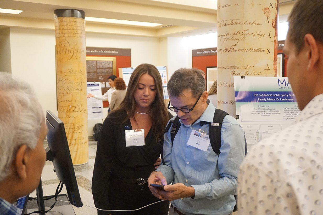
MARCO Portal Mobile App
PRESENTERS: Nolan Beagell, Chelsea Spencer and Ava Taylor
ABSTRACT: The MARCO Portal app is a mobile app based off the Mid-Atlantic Ocean Data Portal website’s mapping capabilities. It allows users to visualize and analyze ocean resources and varying human use information. The Portal promotes engagement in ocean planning by the five Mid-Atlantic states. Users have access to over 5,000 map layers which include information about fishing, marine life, habitat areas, and more. With the MARCO Data Portal app, users will be able to easily search through data layers, to see map visualizations, data summaries, and the ability to select favorites and active layers, for viewing those layers content on the map as overlays. The app is built as native apps for iOS and Android mobile platforms. It uses a REST API service provided by MARCO backend service for access to map layers. The application was sponsored for the Urban Coast Institute at Monmouth University, with API assistance from Ryan Hodges at Ecotrust, architect of MARCO web portal. The app allows fast and quick access MARCO data map layers from mobile devices.
Help Protect the Hudson Canyon: Support Designation as a National Marine Sanctuary
PRESENTER: Brynn Heller, Girl Scouts
ABSTRACT: My video is about the Hudson Canyon, the challenges it faces, its impact, and the potential National Marine Sanctuary designation. I am a Girl Scout, and I made this video for my Gold Award project. I have shown it at events at various NYC schools. My work was shared with the Central Park Zoo Discovery Guides, New York Aquarium Discovery Guides, Intrepid Museum community, GOALS for Girls community, Standard Chartered network, City College of New York’s Zahn Innovation Center network, Bossgirls community, and past and present Gold Award Girl Scout community. I have been interviewed on NY1 news channel about my efforts. My advocacy work was featured in a Now I Know article.
