Mid-Atlantic Ocean Data Portal Spring Update
MARCO recently completed several additions to its collections of marine life, maritime and offshore wind data. Scroll below for highlights and click on the links for more information about these improvements.
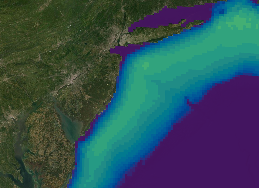
Updated Cetacean & Right Whale Data: The Portal’s Marine life Data & Analysis Team (MDAT) cetacean data products have been updated to include the latest North Atlantic right whale models developed by the Duke University Marine Geospatial Ecology Lab. Monthly right whale map resolutions have been doubled and reflect the apparent major shift in distributions around 2010.
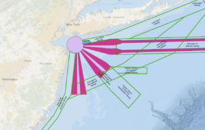
Northern New York Bight Port Access Route Study: A new map on the Portal displays a network of shipping safety fairways leading to and from the port area and an anchorage area off the coast of Long Island that was proposed in the Coast Guard’s Northern New York Bight Port Access Route Study final report.

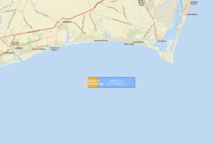
Cape Fear Anchorage: An anchorage area first proposed by the Coast Guard in 2020 to accommodate vessels near the approaches of the Cape Fear River in North Carolina has been amended and can now be viewed on the Portal.

BOEM Central Atlantic Draft Call Area: The Bureau of Ocean Energy Management (BOEM) recently released a Central Atlantic Draft Call for Information and Nominations Area map, which encompasses offshore areas from Delaware to North Carolina.
Offshore Wind Updates: The BOEM Active Renewable Energy Leases map has been updated to include six areas in the New York Bight that were auctioned in a federal offshore wind energy lease sale on Feb. 23. In addition, the BOEM Wind Planning Areas map now includes two areas in the Carolina Long Bay vicinity that will be subject to a wind energy auction on May 11.
Questions or comments on these items? Let us know at portal@midatlanticocean.org.
Share this:

Location of Right Whales in the Mid-Atlantic


