Ocean Data Portal Maps Show Significant Shifts in Mid-Atlantic Fish Species
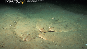
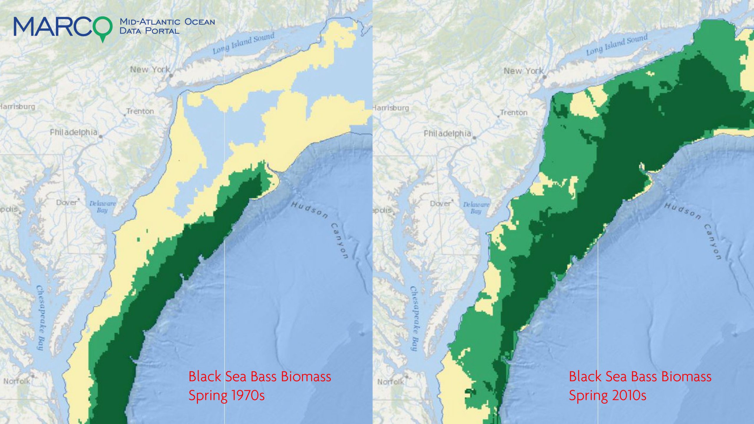
A series of interactive maps published on the Mid-Atlantic Ocean Data Portal illustrates the shifts that took place over the last five decades by several commercially and recreationally important fish species living along the East Coast.
Users of the free and publicly accessible Portal can automatically animate or toggle through hundreds of maps representing fish distributions during the spring or fall seasons in the 1970s, 1980s, 1990s, 2000s or 2010s. These maps can be activated in combination with any of the Portal’s 5,000 map layers showing data for commercial fishing hot spots, marine life habitats, zones being examined for offshore wind development, and much more.
The Fish Species Through Time map collection was made possible by a grant from the Virginia Coastal Zone Management Program (CZM) to The Nature Conservancy. It was created from an analysis of federal Northeast Fisheries Science Center (NEFSC) bottom trawl survey data collected between 1972 and 2017.
Many of the maps show a trend from the 1970’s to the present of fish moving further north and further offshore. Some fish species that showed little presence off the New England coast decades earlier have migrated past Cape Cod and established themselves in the Gulf of Maine.
“Our analysis and the maps make no assumptions as to the factors causing these shifts,” said Chris Bruce, GIS manager at The Nature Conservancy in Virginia and a member of the Portal’s technical team. “However, there is no shortage of scientific research to refer to on how factors like climate change and increasing water temperatures are impacting marine habitats.”

The fish species analyzed were: alewife, American shad, Atlantic mackerel, black sea bass, blueback herring, bluefish, butterfish, longfin squid, monkfish, northern shortfin squid, red hake, sand lance, scup, spiny dogfish, spot, summer flounder, winter flounder, and yellowtail. In addition to individual species, summary maps were created to illustrate shifts by demersal fish and forage fish. “Overlap Area” maps were also created for each species showing the places where fish were consistently present each decade.
In addition, the Portal added a collection of maps projecting future fish species shifts through the year 2100. Users can animate these maps, which are based on data previously released by OceanAdapt , a collaboration between the Pinsky Lab of Rutgers University, NMFS, and Fisheries and Oceans Canada.
Users can access these maps in the Portal’s Marine Planner application by clicking on the Marine Life theme and then clicking on the dropdowns for Fish Species Through Time (for the data showing the 1970s-present) or Fish Species Future Projections.
“These maps tell an important story about the challenges our region’s economies and communities face due to the rapid changes taking place in our ocean,” said Laura McKay, program manager with Virginia CZM and the chair of MARCO’s mapping and data team that manage the Portal. “We hope that they help the region’s ocean stakeholders and decision-makers understand the trends so they can plan and adapt accordingly.” Listen to an April 2, 2020 radio interview with McKay and Chris Bruce discussing shifting fish species on WDEL, a Delmarva area news radio station.
The Portal is an online toolkit and resource center that consolidates available data and enables state, federal and local users to visualize and analyze ocean resources and human use information such as fishing grounds, recreational areas, shipping lanes, habitat areas, and energy sites, among others. With financial support through The Gordon and Betty Moore Foundation, the Portal is maintained by a team consisting of the Monmouth University Urban Coast Institute, Ecotrust, The Nature Conservancy and Rutgers University’s Center for Remote Sensing and Spatial Analysis under the guidance of the Mid-Atlantic Regional Council on the Ocean (MARCO). Established by the governors of the five coastal Mid-Atlantic states in 2009, MARCO is a partnership of Delaware, Maryland, New Jersey, New York and Virginia to enhance the vitality of the region’s ocean ecosystem and economy.
“Regional coordination on ocean use planning is essential to ensure the long-term health of our invaluable ocean resources, and an important piece of this coordination is data accessibility,” said Kisha Santiago-Martinez, chair of MARCO and deputy secretary of state at New York’s Department of State. “Information on the Portal is available to anyone who wishes to view data for any reason, such as ocean planning, education, or decision-making.”
Members of the public learned more about the shifting species data and the Portal in a free webinar held on Earth Day, April 22. Chris Bruce and Marta Ribera of The Nature Conservancy discussed the analysis in further detail, demonstrated the maps and participated in a Q&A session. Watch the webinar recording.
Share this:

